THE OLD ROADS
The Roads Were Here Before the Maps
Across the known world, stretches of fitted stone appear beneath newer paths, fields and settlements. Some run toward surviving crossings. Others continue into empty country. No single record explains who built them, when they were joined, or why so many later communities chose to build beside them.
The oldest records describe the roads as inherited infrastructure, not recent construction.
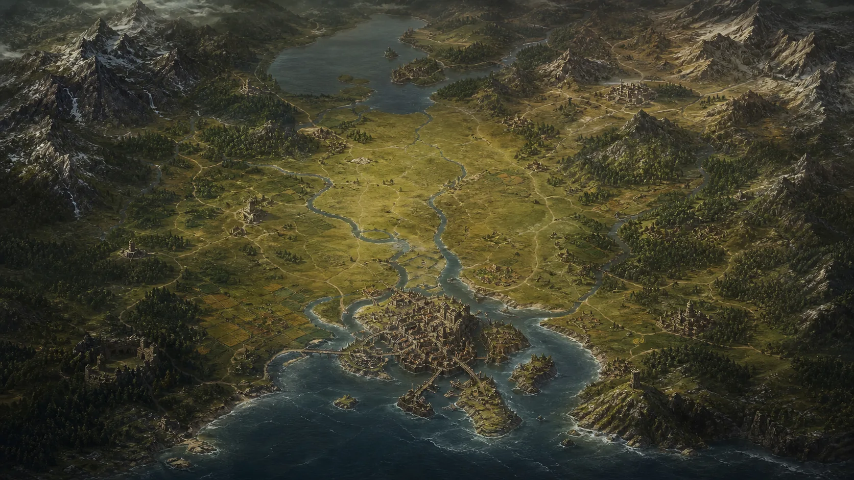
The world keeps moving
Every settlement, expedition, market shift, and regional power leaves a visible mark on the realm.
THE RECORD
Everyone used them. No one convincingly claimed to have made them.
Market ledgers, military accounts and pilgrim notes all mention the roads as if they were already old. Different eras repaired different sections and renamed them for local rulers, towns or landmarks. Those names changed. The stone beneath them did not.
The strangest sections are not the ruined ones, but the intact stretches that seem to have lost their destination. A road may run straight for days, cross a river on foundations older than the current bridge, and then continue toward a hill where no settlement is recorded.
Later surveyors often assumed that something had once stood there. Excavations did not always support them.
There are also disagreements about the roads themselves. Some fragments describe milestones that no longer exist. Others place the same junction many leagues apart. One copied atlas shows a road dividing into three branches; another, dated only a generation later, insists the same road never divided at all.
MILESTONE REGISTER · WESTERN ROAD
The stones counted a journey no surviving map can reproduce.
A damaged toll ledger records seven milestones along a western route. Six distances are legible. When plotted against the surviving road, the final two markers should stand several leagues beyond where the stonework ends today.
Marker IV: Road sound. Drainage repaired after spring.
Marker V: No village. Water from the northern ditch.
Marker VI: Stone missing. Count distance from the split oak.
Marker VII: Collect no toll beyond this point until the eastern dispute is settled.
No surviving account identifies the dispute, the authority collecting the toll or the destination beyond Marker VII. The road continues a little farther, then disappears beneath later ground.
WHAT THEY DO NOT TELL US
A route is evidence of movement, not an explanation for it.
The Old Roads prove that people, goods and messages once moved through these regions at scale. They do not prove a single vanished empire, one lost capital or a definitive catastrophe. The most persistent mistake in later histories was treating every connected road as evidence of one connected story.
RUINS
↗The Hollow Towers
Several surviving road fragments pass within sight of towers whose purpose is no clearer than the roads themselves.
Read about the towersMAPS
↗The Cartographers' Fragments
Surviving maps disagree about where the roads once led — and sometimes whether they split at all.
Compare the fragmentsREGION
↗The Amber Vale
Many of the best-preserved crossings survive in and around the Vale.
Explore the ValeSome roads end. Others simply leave the record.
Continue with the fragments, towers and surviving objects that accumulated beside them.