THE CARTOGRAPHERS' FRAGMENTS
No Map Agrees With the Last
The oldest maps of Veyrlands rarely survive as whole works. What remains are copies, margins, route sketches, tax diagrams and fragments carried between generations. Their coastlines drift. Their roads split and vanish. Their place names change. Together they describe a world that was known in pieces rather than mastered as a whole.
Copied from surviving pre-First Age records. Where the fragments disagree, the disagreement remains.
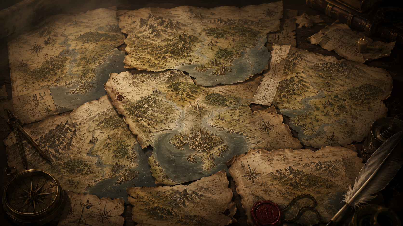
The world keeps moving
Every settlement, expedition, market shift, and regional power leaves a visible mark on the realm.
HOW MAPS SURVIVE
Copies preserve knowledge — and mistakes.
A route drawn by one surveyor may survive only because a merchant copied it into a ledger. A river may be preserved because a later scribe traced an older page. By the time two fragments can be compared, neither necessarily resembles the original.
Some discrepancies are easy to explain. Settlements move. Bridges fail. Roads become unfashionable. Names change with rulers, languages and trade.
Others are less comfortable. Several fragments show landmarks that appear nowhere on later surveys. One set places a long ridge east of the Amber Vale; another, believed to be copied from a similar source, replaces it with open ground and an annotation that translates roughly as do not trust the earlier line.
The temptation is to treat every contradiction as a mystery. Experienced cartographers were more cautious. A bad copy can look like a vanished country if enough centuries pass.
SURVIVING FRAGMENT · EASTERN VALE
One scrap contains three routes and four different opinions.
The fragment is small enough to have been carried inside a ledger. Its road lines are unusually careful. The notes around them are not. At least three hands appear in the margins, each correcting something the previous owner thought worth preserving.
Along the northern route: Third bridge unsafe after thaw.
Beside a crossed-out settlement name: Called Edrin's Ford by the ferrymen. Tax copy is wrong.
At a stone marker drawn well south of the road: Moved again. Ask no one in the village where it stood first.
Near the fragment's torn eastern edge: Do not trust the earlier line.
None of these notes explains the map. Together they show why it survived: not as a finished picture of the world, but as something people argued with while trying to cross it.
THE MARGIN NOTES
The map was formal. The margins were where people lived.
Distances, warnings, seasonal crossings, tolls, missing bridges and local names were written beside the clean lines of the survey. A copied road might remain unchanged for a century while its margins accumulated corrections: a ferry replacing a bridge, a market using a different name, a winter route becoming impassable, a boundary stone found somewhere it should not be. These notes rarely survive cleanly, but they reveal how people actually moved through Veyrlands: cautiously, pragmatically and with far less certainty than later atlases pretend.
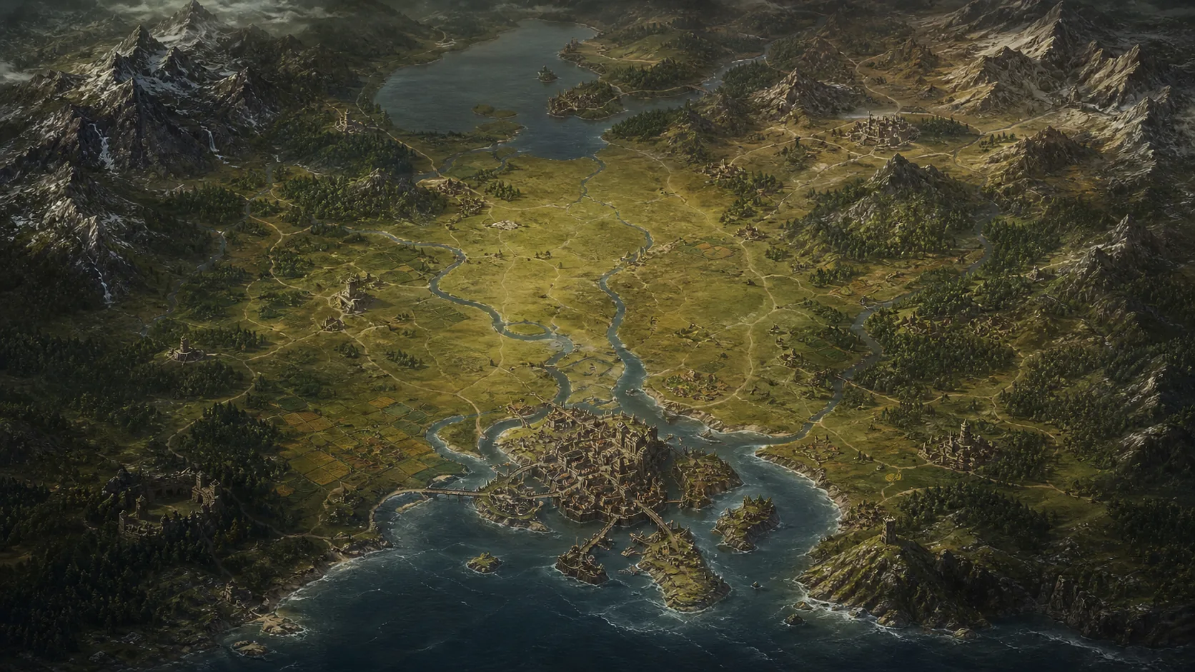
Archivist's caution: the fragments preserve uncertainty rather than resolve it. A copied landmark is not proof that it survived, and a contradiction is not proof that something was hidden. Sometimes the most accurate thing a map can preserve is doubt.
REGION
↗The Amber Vale
A region preserved across many fragments, though its borders, crossings and names shift repeatedly.
Explore the ValeROUTES
↗The Old Roads
The maps disagree most where the roads seem oldest — and where later travelers trusted them anyway.
Follow the roadsRUINS
↗The Hollow Towers
Several tower diagrams began as attempts to reconcile landmarks that refused to form one reliable pattern.
Read about the towersEvery map becomes a fragment eventually.
Continue through the roads, ruins and objects that survived after their original explanations did not.